Mt Nimmel and the nine-year itch
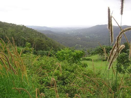
"Nimmel" is an aboriginal word meaning "Conspicuous mountain". It's actually ironic that Mt Nimmel should have ended up with such a name. For one thing, at a mere 489 metres in height, it's quite a bit smaller than the surrounding peaks of Springbrook, The Cougals, Mt Gannon, Mt Tallebudgera etc. In my case, I've only managed to get around to riding up it after climbing any number of other mountains in any number of other parts of the country (and in New Zealand for that matter).
It truth, I did attempt this mountain nine years ago, and failed dismally. I later found out that mechanical problems on my bike that day inhibited me considerably. I would discover today that the early kick which beat me in 1998 is actually the hardest part of the entire climb. Shortly after this early kick, the gradients levelled out a little as they often do. This time it settled into a pattern of short, steep ups and downs, each gradually gaining in height. The views were telling their own story.
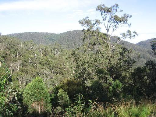
I watched a line of cloud moving across from the coast, and wondered if I'd be caught in the rain on the descent. As it was, the climb was too pretty to worry about those things. After a consistent grind through some eucalypt forest, the vegetation opened up as the gradient got steeper for the final assault. I then realised that I'd managed to hit a patch of greenery that I had thought was actually on Springbrook when looking at the mountains from the coast.
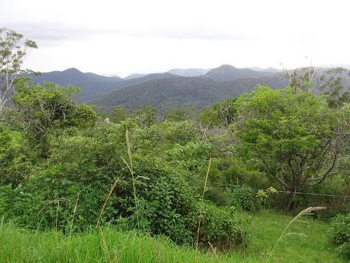
Some short steep sections followed, but the summit was something of an anti-climax in the end. I reached it, and the end of the road before turning around and descending quickly. There is some debate about the pros and cons of whether or not cyclists should wear underwear. All I'll say is that some brown underpants have a use of their own on this descent.
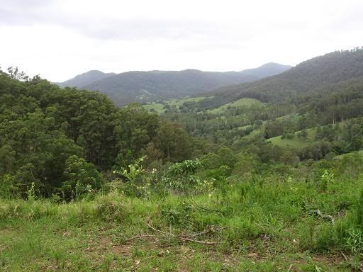
I found a dirt track, leading off to the East before I reached the bottom. I was tempted to follow it, thinking it might be the "missing link" between Mt Nimmel and Austinville that I've read about on some maps (but not others). It's ironic that I chose not to follow it on this day, because I ended up detouring to Austinville later anyway. I felt I needed some extra kilometres, and the rainforest at Austinville would provide the ideal setting.
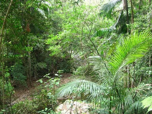
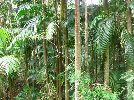
My thighs had some arguments on the dirt sections, but that didn't really last long. I coasted home fairly easily after this, wondering if there were any more riding possibilities in this area. The possibility of a back track linking Mt Nimmel and Austinville is an interesting one. It's something I'll have to explore further on the next opportunity, which could be at least a month away.


0 Comments:
Post a Comment
<< Home