Dam it all...
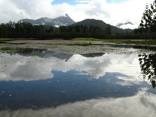
Sunday's plan was to set off in search of Hell Hole Falls, believed to be somewhere in the south-western vicinity of Uki. The rain from the previous day and early in the morning here was expected to fill the falls with plenty of water and scare the tourists away, and it seemed like the perfect time to do it. A flat tyre inside the first 10km dampened my enthusiasm a bit, but that was soon patched and I was on my way again.
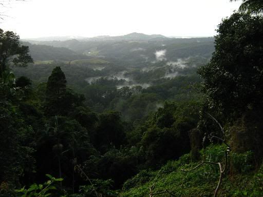
I climbed over tomewin, attacking the early steep pinch, to take a more scenic route into the Tweed Valley. This is one of my favourite passes, particularly the stretch across the top before the steep descent into the valley below. The rain returned in the Tweed Valley, the temperature dropping to 11 degrees C, yet beyond Uki, where the ride really started, the skies started to clear, leaving only remnants of cloud hovering around Mt Warning. It was time to move on to the next phase.
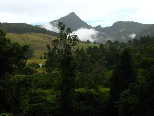
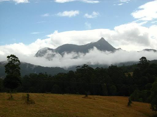
There is another world to explore in the area around the locality of Doon Doon. Today I would take a slightly different route, to Clarrie Hall Dam, then Commissioners Creek Road, then Rockface road, hopefully finding the falls at the end. It didn't quite happen that way. First of all, the turn off from Commissioners Creek Road had a different name for the first 100 metres or so, meaning that I followed that road for longer than I should have, finally backtracking, finding my way to Rockface road, and commencing the climb on the rutted dirt road.
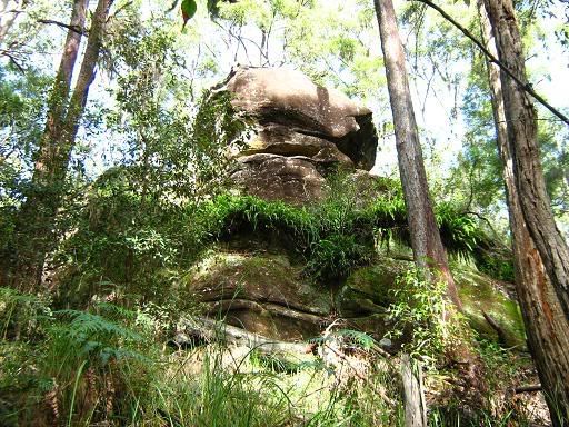
The road continued to climb, the turn off to the right that was supposed to lead straight to the falls was fenced off as "private property", almost certainly illegally. I'm sure there's a "tosspot of the week" post there, but I have another nomination in mind for that right now. As it was, I continued to climb, realising that I probably wouldn't reach the falls, but might find the summit of the climb anyway. The climb continued, levelling out in places, but generally continuing to gain height, while offering no views.
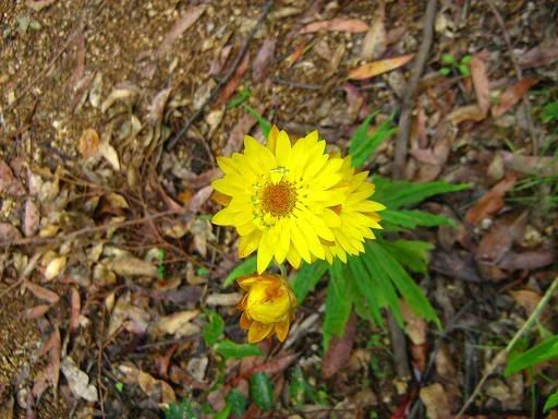
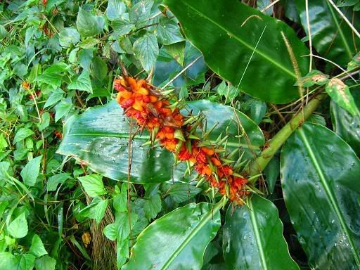
At the northern face of the mountain there was an intersection, and a heap of wildflowers. The "road" turning off to the East went straight into the valley below, but I decided to press on with the climb, wanting to finish it off. It crested at around 460 metres above sea level before starting a gentle descent. The gentle decent would have been nice to continue, but it wasn't to be. I soon found the end of the "road" and the start of a "trail", where the final destination became obvious.
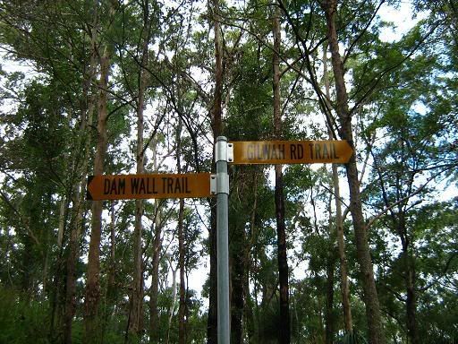
The final descent to the wall at the northern end of Clarrie Hall Dam was too steep to even consider riding in the muddy conditions. Even walking was treacherous enough. At one point I used the brakes to lock up the wheels of the bike completely, and it still slid down at walking pace. Eventually it was negotiated, and I was left with a simple ride home. I grabbed more food back in Uki, before taking the "conventional" route via Murwillumbah, Urliup and Bilambil. A few squalls of rain along the way made the return interesting, but I was able to negotiate it comfortably enough.
The only option left for finding these falls is now via the old Mt Jerusalem, with a detour from another map that I have seen. This ride was rewarding in and of itself for other reasons, but I still intend to find those falls one way or another.


10 Comments:
turn left at the memorial at UKI into rolands creek road. this road becomes Manns rd, take middle ridge rd untill you come to sand ridge rd. stop at bridge at bottom. follow creek to the right for 100mtrs till top of falls. If you dont mind the slow pace of us old riders, Dave & I could meet you at UKI. Brokern chain Mark
Hi Mark,
I'm familiar with Manns Road as I use it regularly between Mullumbimby and Uki. I haven't yet been down Middle Ridge road, but it's on the agenda now. I'm free on Sunday, July 20 at this point.
Just a word of warning on Manns Road, it's MUCH steeper from the Uki side than from the Main Arm side (to the south). It could be an idea to ride around through Billinudgel and Main Arm, then descend to Uki and make a circuit out of the ride.
Hi Chris;
If you do go on Sunday the 20th it will be just yourself and Mark as I am in Grafton all weekend, hope we can arrange a different date, if not have a good time
Dave
Yeah, I haven't heard back from Mark, so it looks like it will have to be the 27th now.
Hi Chris Sorry have not contacted you sooner.trying to toss the flu bug.Im good for the 27th. Mark
Hi all,
Is everything still OK for the 27th (Sunday)? Could be a long day, so we might want to make this a 7.30 start.
Hi Chris
Im OK 27th 7.30
If you think we could be short of time,Ive got a van that takes 3+ bikes.We could leave it at Billienudbel & ride from there.
Mark
We should be alright for time with a 7.30 start. Besides, if we leave a van at Billinudgel, we only have to go back there later. It's probably just as quick to ride there, climb from that side, then descend into Uki and head home from there.
sorry cant make it tomorrow.sick in bed
mark
Hey guys actually driven this track haha. Took the nearly brand new Isuzu MU-X down the whole track. Did the whole track before realising that it was probably designed for bikes hahha. We had to wait until the ranger could come unlock the gate on the other end (dam spillway). It took around a total of 4 hrs to complete in a fairly large 4wd and we took it slowly (less than 5kph and in low-range 4wd) to get down most of the end of he track. Luckily the MUX has good ground clearance to get over some of the "jumps" in the road. Great day and cant wait to do it again!!
If you want to see photos please message me through FB
https://www.facebook.com/josh.farmer.940
Post a Comment
<< Home